The Importance of Weather Radar Maps
Introduction
Weather radar maps play a crucial role in our understanding of meteorological phenomena. These maps help meteorologists detect and visualize weather patterns, providing essential data for predicting storms, rain, and other significant weather events. With the constantly changing climate, the significance of accurate weather forecasting cannot be overstated, making weather radar maps a vital tool for safety and preparedness.
What is a Weather Radar Map?
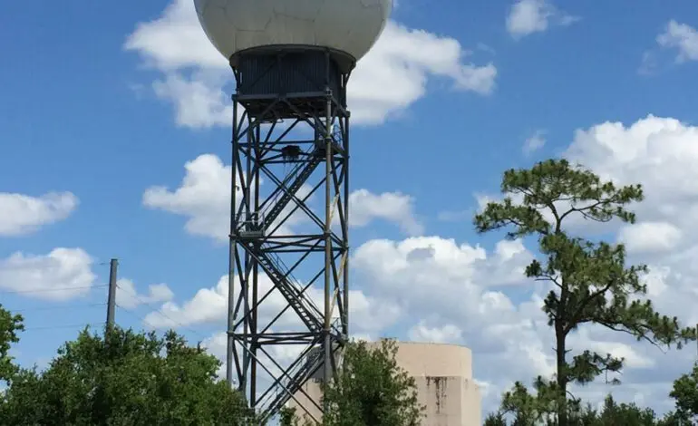
A weather radar map is a visual representation of precipitation, storm activity, and cloud cover. Radar technology uses reflected radio waves to determine the location, intensity, and movement of weather patterns. This information is then represented on maps that display various colors corresponding to different levels of rainfall or storm intensity, helping users make informed decisions.
Recent Developments and Uses
In recent years, advancements in radar technology have significantly improved the accuracy of weather forecasting. High-resolution Doppler radar systems provide real-time data, allowing meteorologists to better predict severe weather events such as tornadoes, hurricanes, and floods. For instance, in September 2023, the National Weather Service (NWS) utilized these advanced radar capabilities to issue timely warnings ahead of Hurricane Lee, enabling residents in affected areas to prepare adequately.
Moreover, mobile applications and websites have made weather radar maps more accessible to the general public, allowing users to track weather conditions in their area instantly. This democratization of weather data empowers individuals to stay informed and respond effectively to changing weather situations.
The Significance of Weather Radar Maps
The importance of weather radar maps extends beyond simple weather checking. They serve as critical components in disaster response plans and urban planning, particularly in regions prone to extreme weather. Accurate radar data supports emergency services in making decisions regarding evacuation routes and resource allocation during impending disasters.
Conclusion
As technology continues to evolve, the capabilities of weather radar maps will also expand. The integration of machine learning and artificial intelligence into weather forecasting models promises even more precise predictions. For the average citizen, understanding and utilizing weather radar maps can enhance safety and preparedness in the face of natural weather events. As we face the challenges of climate change, the reliance on accurate weather data will only amplify in significance, reinforcing the need for robust meteorological tools like weather radar maps.